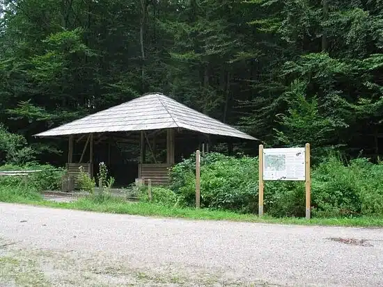
Parking facilitiesLudwigshain
You are here: Home page " Weltenburg Hiking Trails XI: Plateau Circular Trail
Your hiking tour starts at the Ludwigshain parking lot. Your route takes you about 600m along the Donau-Altmühl-Rundweg (X) to the turn-off towards Essing. Now follow a forest path for about one kilometer, then turn right onto a forest path for about 300 meters until you reach the road. From this point you have an impressive view over the natural landscape of the Weltenburger Enge to the dry slopes of Ihrlerstein. Your route continues along the forest path to the next junction. Keep right there and walk another 800 meters until you reach the Danube-Altmühltal circular trail (X) again. Follow this circular route to the right until you reach the road and then continue to the starting point of your hike.
Parking facilitiesLudwigshain
Walking time approx: 1 hour
Character
Traffic load
Road surface
Signposting
Then simply contact us at any time using the following contact options:


