
You are here: Home page " Essing-Ihrlerstein
Loop 26
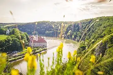
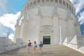
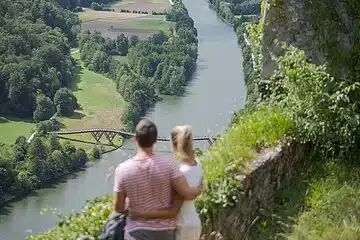
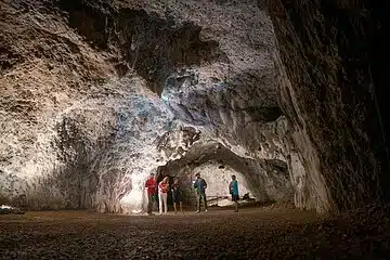
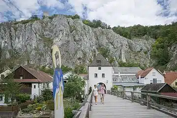
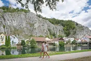
We start our tour in Essing. At the church, we turn left into the "Burgweg" and follow it to the end of the cul-de-sac. Here we go straight ahead onto the forest path and stay on it until we reach the road to Randeck. Cross the road and after approx. 100 m turn right onto the forest path. At the end of the path, we descend on steps. At the bottom, turn left, pass the tarred road and follow the signs to Schulerloch. Along the edge of the forest and via the ascent path, we finally reach the Schulerloch stalactite cave. The path then leads us north and then describes a small bend. We walk through a quiet wooded area and turn left from the forest road onto a forest path. After approx. 400 m, this path leads into the Zieglertal valley. Here we keep to the right and pass the Obernederhöhle cave. After another 400 m, we turn left and after approx. 30 m immediately right again along the slope through natural mixed forest. We reach the Heldental valley and then cross the road connecting Kelheim and Ihrlerstein. A slight ascent leads us to the edge of the slope above the steep slopes of the Altmühltal. From here we have a wonderful view of Kelheim, the Main-Danube Canal and the Michelsberg with the Befreiungshalle. From the highest point, we walk steeply across the dry grassland meadows and past the Maria Fels chapel down to Kelheim. From there, the Altmühltal-Panoramaweg leads us back to the starting point.
Walking time approx: 6 hours

Then simply contact us at any time using the following contact options:


